Invited Speakers
Speakers
|
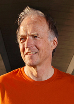
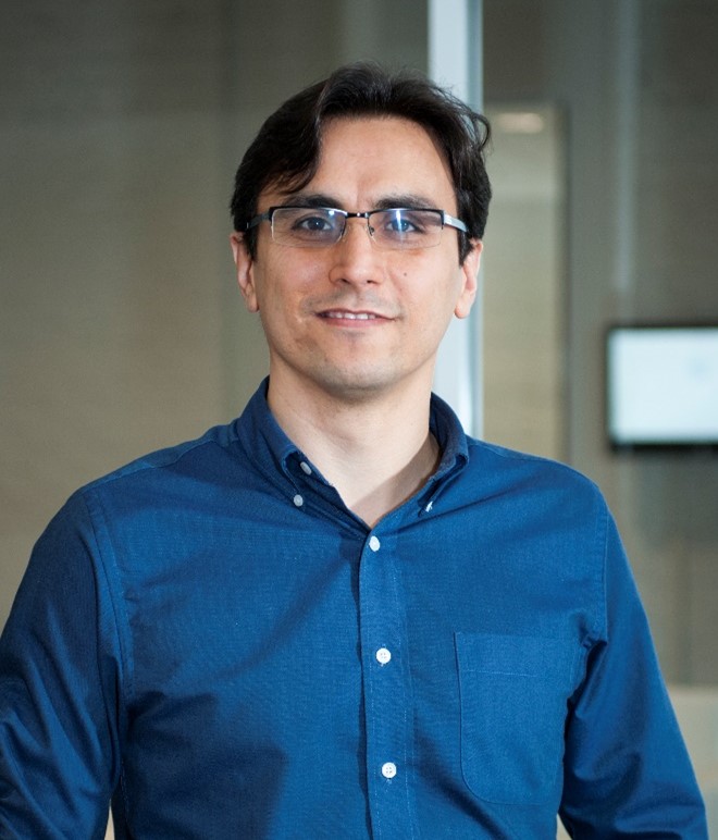
Dr. Francis Zwiers |
Bio/Synopsis: Dr. Francis Zwiers is director of the Pacific Climate Impacts Consortium (PCIC) at the University of Victoria. His former roles include chief of the Canadian Centre for Climate Modelling and Analysis and director of the Climate Research Division, both at Environment and Climate Change Canada. As a research scientist, his expertise is in the application of statistical methods to the analysis of observed and simulated climate variability and change. Dr. Zwiers is a Fellow of the Royal Society of Canada, the American Geophysical Union and the American Meteorological Society, a recipient of the Patterson Medal and President’s Prize, has served as an IPCC Coordinating Lead Author of the Fourth Assessment Report and as an elected member of the IPCC Bureau for the Fifth Assessment Report.
He will present An update on our understanding of climate change. The IPCC’s Working Group I released its latest comprehensive assessment of past and future climate change in August of this year, including a comprehensive assessment of what we know about how and why extreme events have changed in the recent past and how they will continue to change the future. This talk will quickly review the main findings of the report, focusing on extremes and the challenges we face in limiting further changes, and briefly mentioning some implications for infrastructure adaption. |
|
|
|
|
Director, President and CEO Pacific Climate Impacts Consortium (PCIC) University of Victoria |
|
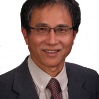
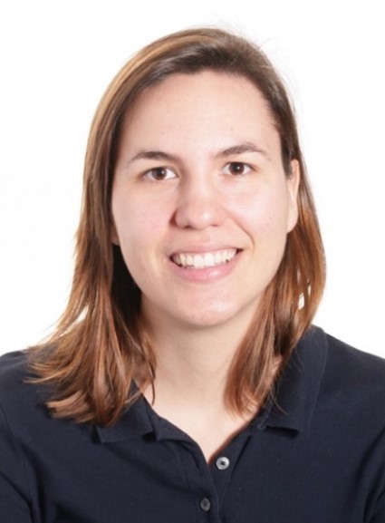
Prof. Thian Yew Gan |
Bio/ Synopsis: Thian Yew Gan is a professor of the University of Alberta, Edmonton, Canada since 1993, research ambassador of German Academic Exchange Service, and a fellow of the American Society of Civil Engineers (ASCE). His teaching/research in snow hydrology, remote sensing, hydrologic modeling, hydroclimatology, climate change, and water resources management and planning has gained international recognition.
Dr. Gan will integrate the IPCC Report with his research on the changes for the cryosphere and the policy changes to consider in Canada |
|
|
|
|
Civil and Environmental Engineering Department University of Alberta |
|
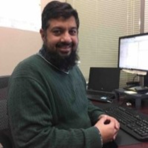
Dr. Amir Ali Khan |
Bio/ Synopsis: Amir Ali Khan, Ph.D, P.Eng, is the Manager of the Water Rights, Investigations and Modelling Section with Newfoundland and Labrador’s (NL) Department of Environment and Climate Change. His Ph.D. in Civil Engineering is from Memorial University of Newfoundland. He is also a sessional instructor at Memorial University of Newfoundland. He developed the climate change flood risk-mapping template used in Newfoundland and Labrador. He will present on NL’s climate change flood risk mapping program and its use in conjunction with the floodplain development policy for regulating development in the flood zones, in climate change adaptation of infrastructure and flood alerts. |
|
|
|
|
Manager
|
|
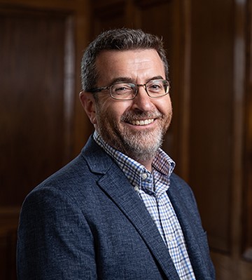
Dr. David Sills |
Bio/ Synopsis: Dr. David Sills earned his Ph.D. degree in Atmospheric Science from York University in Toronto in 1998. He served as a Severe Weather Scientist at Environment and Climate Change Canada for more than 20 years before becoming Executive Director of the Northern Tornadoes Project with Western Engineering in 2019. Dr. Sills has led or co-authored 41 journal publications and 36 conference papers, and serves as Associate Editor for the Canadian journal Atmosphere-Ocean and the American journal Monthly Weather Review. In 2017, Dr. Sills was awarded the Rube Hornstein Medal for his contributions to operational meteorology in Canada. Dr. Sills – will speak about severe convective storms (atmosphere), the Northern Tornadoes Project and how it contributes to knowledge on climate change and resiliency |
|
|
|
|
Executive Director of the Northern Tornadoes Project |
|
Prof. Farshid Vahedifard |
Bio/ Synopsis: Dr. Vahedifard is CEE Advisory Board Endowed Professor and a Professor in the Richard A. Rula School of Civil & Environmental Engineering at Mississippi State University. His research efforts primarily encompass the areas of civil and geotechnical engineering interfacing with grand challenges of Climate Change. Extreme Events, and Resilient Infrastructure. He has served as PI/lead in several research projects with a total funding of over $7 million and authored over 170 refereed articles in scholarly journals and conference proceedings. He is a Fellow of ASCE and the recipient of several awards including the 2021 MSU Annual Research Award, 2019 MS ASCE Engineer of the Year Award, the best paper award from the ASTM Geotechnical Testing Journal as well as the 2016 FLC Interagency Partnership award. He will present Resilience of Levee-Protected Power Network under Flooding in a Changing Climate. This presentation will focus on quantifying the effects of climate adjusted flooding on the integrity of levee-protected infrastructure systems. There has been a growing interdependency among levees and other infrastructure systems due to rapid urbanization and technological developments in levee-protected areas. This presentation illustrates how a multi-disciplinary framework can be developed to quantitively evaluate the effect of flooding in a changing climate on the fragility of earthen levees and the subsequent impacts on the resilience of levee-protected electric power network for a study area in Northern California.
|
|
|
|
|
CEE Advisory Board Endowed Professor and Professor Richard A. Rula School of Civil & Environmental Engineering, Mississippi State Uni., USA |
|
Paula Padrino Vilela |
Bio/ Synopsis: Paula Padrino Vilela is presently leading UNEP’s activities related to Modern Technologies in Disaster Management as well as COVID19 Environmental Impacts – in her capacity as Project Coordinator within the Resilience to Disasters and Conflicts Global Support Branch at UNEP. In addition to overseeing and running these two projects, Paula also provides help and assistance to other projects within the branch as required. Paula has accumulated over three years of professional experience in the humanitarian and human rights fields, working for major international organizations such as The North Atlantic Treaty Organization (NATO) and the International Committee of the Red Cross (ICRC) and the UN. She possesses an LLM in International Humanitarian Law and Human Rights from the Geneva Academy of International Humanitarian Law and Human Rights (Geneva, Switzerland). In addition, she holds a Bachelor’s Degree in International Relations from the Universidad Europea de Madrid (Madrid, Spain). During her studies Paula obtain several certificates undertaking exchanges programmes in Pace University (NYC, USA), LUMSA (Rome, Italy), and London School of Economics (London, UK). |
|
|
|
|
|
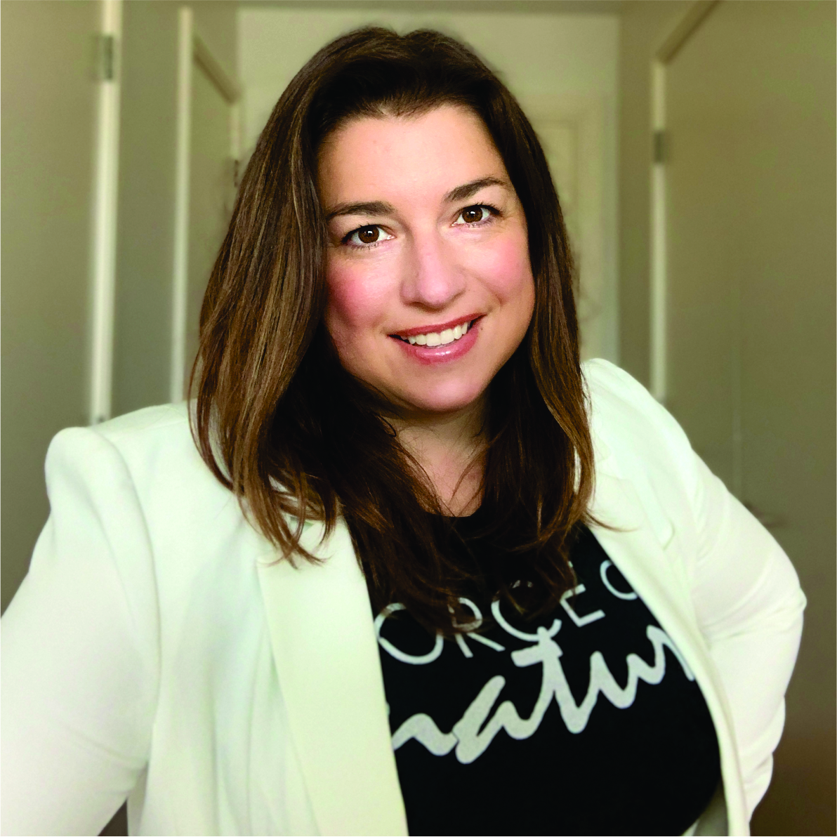
Shayna Skolnik |
Bio/ Synopsis: Shayna Skolnik is co-founder, CEO, and creative mastermind of Navteca, a technology company that has been pioneering the use of VR technology for Earth science, working closely with NASA and others to push the boundaries of GIS data visualization. Navteca's core focus is creating practical applications based on emerging technology, such as cloud, virtual reality (VR), AI/NLP, GIS data visualization, and 360 content creation. At NASA, Shayna has led a multi-year investigation into the applications of virtual and augmented reality for NASA Earth science and disaster applications as a significant new approach to enhancing the way we view and communicate science and data in an engaging, interactive format. She will present Virtual World, Real Understanding: Using Immersive Visualization for Understanding Disasters, Climate, and Extreme Weather Impacts. Visualization helps guide understanding of scientific data and immersive visualization takes it several steps further by providing a realistic virtual environment and an unprecedented level of interaction. Just as in a video game, a user can explore, navigate and experiment in the graphic environment, but in this case the virtual world is a careful representation of the real one. The virtual world can then act as a limitless testing ground upon which to layer multiscale data from disparate sources and “see” the impacts of individual events, like storm surge from a hurricane, and phenomena, such as long term sea level rise.
|
|
|
|
|
|
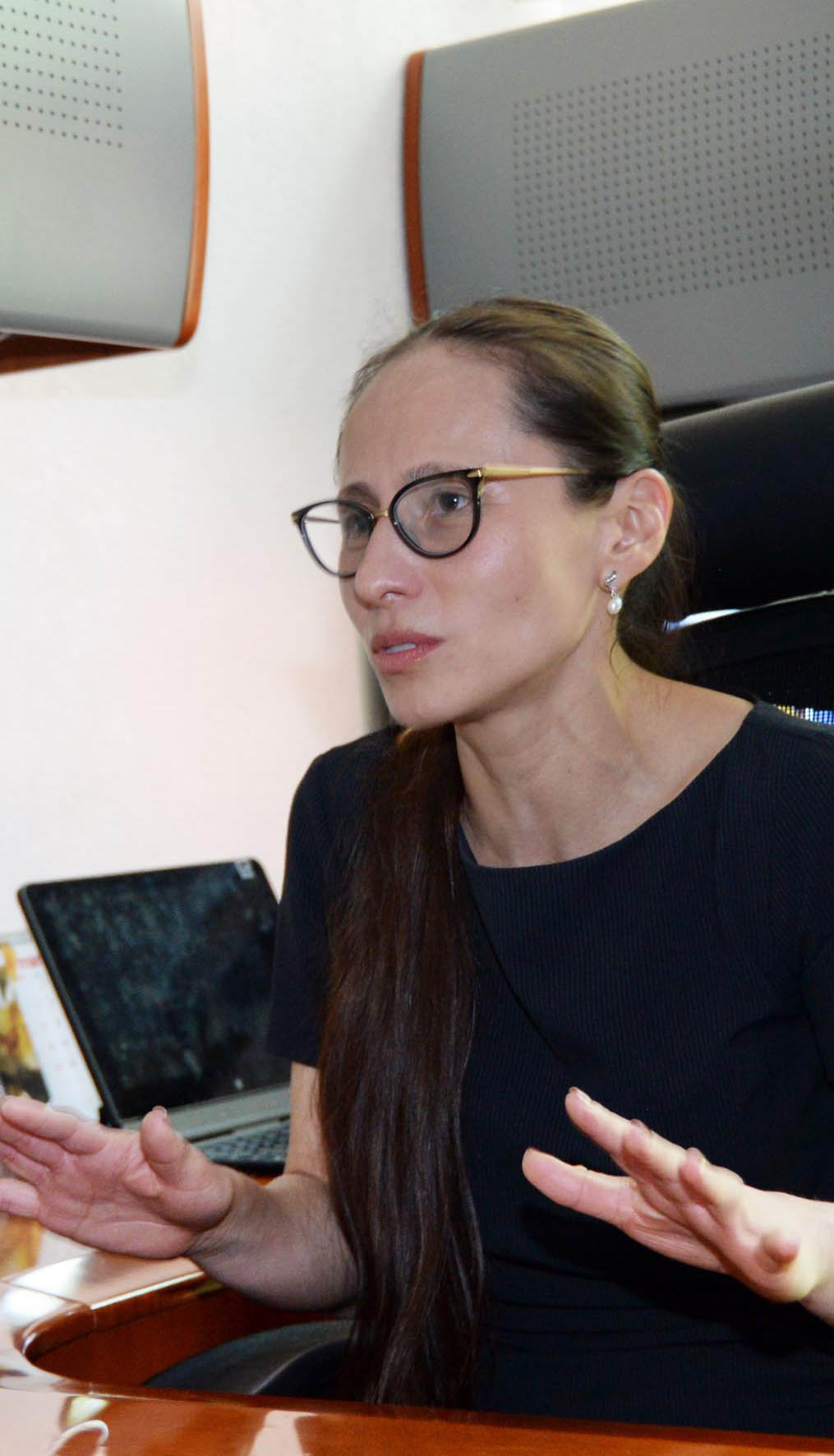
Dr. Silvia Garcia |
She will present Intelligent VR-AR for Natural Disasters Management. Considering the significance of improving natural disasters emergency management and recognizing that catastrophe scenes are almost impossible to reconstruct in real life, forcing persons to experience real hazards violates both law and morality, in this research is presented an engine for Virtual Reality/Augmented Reality (VR/AR) that works enhancing human capacities for prevention, response and recovery of natural phenomena effects. The selected novel techniques have very advantageous qualities to overcome the inconveniences detected in the most recent seismic devastating experience in Mexico City, the Sept 19th, 2017, earthquake M7.2: total collapse of more than 230 buildings, partial fall of 7 000 houses, 370 people were killed, and over 6,000 were injured. VR and AR provide researchers, government authorities and rescue teams with tools for recreating the emergencies entirely through computer-generated signals of sight, sound, and touch, when using VR, and overlays of sensory signals for experiences a rich juxtaposition of virtual and real worlds simultaneously, when AR is applied. The gap between knowledge and action is filled with visual, aural, and kinesthetic immersive experiences that poses a possibility to attend to the population in danger in a deeply efficient way, never experimented before. |
|
|
|
|
Engineering Institute Universidad Nacional Autónoma de México |
|
Dr. Abhineet Gupta |
Bio/ Synopsis: Abhineet is the Director of Resilience R&D at One Concern. He works on developing tools that leverage data to quantify natural disaster risk and resilience. He also develops model validation frameworks to build trust and increase transparency. Abhineet graduated from Stanford in 2017 with a master’s and Ph.D. in earthquake engineering and Ph.D. Minor in Computer Science with a focus on artificial intelligence. For his Ph.D., he developed the tools to evaluate seismic risk from induced earthquakes in regions such as Oklahoma. Before that, he worked as a structural design engineer at Magnusson Klemencic Associates in Seattle and designed buildings in Boise, India, and Malaysia.TitleUsing LiDAR Pointcloud Data for Building Elevation & Height Estimation to Develop 3D Models of Cities He will present the talk Using LiDAR Pointcloud Data for Building Elevation & Height Estimation to Develop 3D Models of Cities. Accurate assessment of disaster risk requires an accurate representation of the built environment exposure. Remote sensing technologies can not only help to create these representations at scale, but also make it possible to capture the dynamicity of the built infrastructure. In this presentation, we will highlight a project that utilized remote sensing to model building characteristics. We used LiDAR pointcloud data to estimate the elevations and heights of buildings in San Francisco, CA to create a 3D model for the city. Building heights can be used to estimate their vulnerabilities to earthquakes, floods, and windstorms. |
 |
|
|
Director of Resilience R&D at One Concern |
|
Prof. Robert Soden |
Bio/ Synopsis: Robert Soden is an Assistant Professor in Computer Science and the School of the Environment at the University of Toronto. His research draws on arts, humanities, and social sciences to evaluate and improve the tools and technologies we use to understand and respond to environmental challenges like disasters and climate change.
He will present Responsible AI in Disaster Risk Management: A Community of Practice Perspective. The use of AI, and in particular machine learning, is increasingly being taken up as part of efforts to better understand and mitigate the potential impacts of disasters like earthquakes or floods. Experts and practitioners believe that these tools can help support societal efforts to inform decisions ranging from emergency preparedness to infrastructure retrofitting and the design of disaster insurance products. Despite widespread concerns over the role of AI tools in domains such as criminal justice, banking, and healthcare, little guidance is available for experts working on the tools in the area of disasters. This talk will report on an ongoing effort by organizations including the Red Cross, the World Bank, and several academic institutions to examine the potential for negative consequences of AI in the field of disaster management. |
|
|
|
|
Computer Science & School of Environment University of Toronto |
|
Prof. Kristy Tiampo |
Bio/ Synopsis: Dr. Tiampo is internationally recognized as an expert on earthquake seismicity and geodesy and their illumination of the physics of fault networks, having published more than 130 papers in peer-reviewed journals. These include the development of innovative techniques for improved InSAR analysis methods and applications, over a range of SAR frequencies, integration of InSAR and GNSS data into assimilation and modeling for the study of natural hazards, as well as in-depth studies of earthquake seismicity. Significant contributions from her research group include the development of a more accurate methods for time-dependent InSAR analysis for the study of surface deformation associated with natural and anthropogenic signals; the incorporation of gravity signals into large-scale numerical fault simulation models; ongoing analyses of GNSS network data from eastern Canada and the western United States; and the development of the first of a new generation of seismicity measures. She will present Advanced flood extent detection algorithms applied to Sentinel 1A-B synthetic aperture radar data
|
|
|
|
|
Director Earth Science and Observation Center (ESOC) Cooperative Institute for Research in Environmental Sciences University of Colorado Boulder |
|
Dr. Anirudh Koul |
Bio/ Synopsis: Anirudh Koul is a noted AI expert, UN/TEDx speaker, author of O'Reilly's Practical Deep Learning book and a former scientist at Microsoft Research, where he founded Seeing AI, considered the most used technology among the blind community after the iPhone. He works at Pinterest helping incubate emerging technologies. With features shipped to a billion users, he brings over a decade of production-oriented applied research experience on petabyte-scale datasets. He also serves as an ML Lead for Frontier Development Labs & SpaceML - NASA's AI Accelerator, and coaches a podium-winning team for Roborace autonomous driving championship @175mph. His work in the AI for Good field, which IEEE has called 'life-changing', has received awards from CES, FCC, MIT, Cannes Lions, American Council of the Blind, showcased at events by UN, World Economic Forum, White House, House of Lords, Netflix, National Geographic, and lauded by world leaders including Justin Trudeau and Theresa May. For his work, he received the IET Career Achievement Award in 2019. He will present SpaceML Worldview Search: The NoCode Earth & Natural Disaster Dataset Curator from Unlabeled Petabyte Scale Imagery. AI modeling for Earth events at NASA is often limited by the availability of labeled examples. For example, training classifiers to detect forest fires from satellite imagery requires curating a massive and diverse dataset of example forest fires, a tedious multi-month effort requiring careful review of over 196 million square miles of data per day for 20 years. This demo based talk showcases a no-code open-source tool built by an international team of citizen scientists whose goal is to help build an exhaustive set of relevant examples starting from a single example image, while minimizing human labeling.
|
|
|
|
|
Head of Artificial Intelligence and Research Space ML |
|
Prof. Jason Thistlethwaite |
Bio/ Synopsis: Jason Thistlethwaite is a Professor for the School of Environment, Enterprise and Development. His research focuses on innovative strategies designed to reduce the economic impacts of extreme weather and climate change. He explores the role of insurance and government risk-transfer in promoting climate change adaptation and reducing economic vulnerability. To inform this work, he has worked directly with business and government leaders in the insurance, banking, real estate, building, and investment industries. Jason is also a frequent speaker, media contributor on Canada’s growing vulnerability to extreme weather, and a self-described “weather geek”. Jason's research interests are focused on assessing the economic effects of climate change, natural disasters and extreme weather. With a specific interest in measuring local costs of extreme weather, and the viability of property insurance and disaster assistance as a means of reducing vulnerability in the era of climate change. |
|
|
|
|
Faculty of Environment University of Waterloo |
|
Prof. Mathieu Boudreault |
Bio/ Synopsis: I am Associate Professor of Actuarial Science in the Department of Mathematics at Université du Québec à Montréal. My main research interests include catastrophe modeling, namely floods and tropical cyclones, climate extremes and climate change in the (re)insurance industry, flood insurance and financial risk-sharing in Quebec and Canada. I have research partnerships with the private and public sectors, namely the (re)insurance industry, the federal government, municipalities and actuarial organizations. He will talk about how the work from the TCFD is shaping the regulatory environment for the (re)insurance industry worldwide, especially wrt physical risk assessments. Then I will present modeling frameworks for both floods and tropical cyclones from a global perspective, connecting with climate models to evaluate different problems related to portfolio risk management and climate change. |
|
|
|
|
Department of Mathematics
|
|
Dr. Gero Michel |
Bio/ Synopsis: Dr. Gero Michel is the CRO of AIG Re and responsible in this role for Validus, AlphaCat and Talbot Re. Before this he was responsible for Retro Underwiting for AlphaCat and was Head of Risk Analytics at AIG Re, overseeing innovative product generation across platforms and reviewing risk and analytics strategies for AIG Re. Before this Gero was heading up Analytics for AON Reinsurance EMEA/UK and was Managing Director of Chaucer Underwriting A/S in Copenhagen, DK. Before this Gero was Senior Vice President, CRO and Head of Risk Analytics of Montpelier Re. where he was responsible for risk analytics, a task that involves innovations in risk management, underwriting strategy, risk reporting, as well as the Montpelier Group's own view of risk and risk modelling. Gero was also overseeing climate risk model development at RMS and has worked for Endurance Willis (MD of Willis Research network and model development) and Hannover RE. Gero holds a PHD and a MSc in Geoscience, is Harvard (HBS) Alumni, and has been adjunct professor and lecturer for Universities most recently for Frankfurt Business School and Western Ontario, Canada. He is author of numerous including invited papers at conferences and for science and insurance magazines and was the principal editor and organizer of one of the most recent books on “Risk Modeling for Hazards and Disasters” (Elsevier, 2018) including many of the most active groups in risk modeling for (re)insurance. |
|
|
|
|
Head of Risk Analytics |
|
Mr. Grant Kelly |
Bio/ Synopsis: Grant is Vice President, Regulatory Affairs and Financial Analysis at the Property and Casualty Insurance Compensation Corporation (PACICC). He is also Chief Economist.He possesses an Honours B.A. (Economics) and a M.A. (Business Economics) from Wilfrid Laurier University. Grant also holds the Charter Financial Analyst designation and is a Chartered Professional Account (CPA, CMA).Grant joined PACICC as Vice President in February 2012. He has published articles and papers on a wide array of insurance solvency issues and why insurers fail. Prior to PACICC, he spent 15 years working at the Insurance Bureau of Canada (IBC). At IBC, he was responsible for formulating the industry’s policy positions on various auto, home insurance and financial positions. As IBC’s Project Director, Catastrophic Loss Mitigation Grant was instrumental in creating the Institute for Catastrophic Reduction. |
|
|
|
|
Property and Casualty Insurance Compensation Corporation (PACICC) |
|
Prof. John Braun |
Bio/ Synopsis: Since completing my PhD in Statistics at the University of Western Ontario, I have held positions at a number of universities, including Western for 14 years where I attained the rank of Full Professor and was Chair of the Statistics Graduate Program for 5 years. In 2014, I took the opportunity to become Head of Computer Science, Mathematics, Physics and Statistics at UBC’s Okanagan campus. The following year I became Deputy Director of the Canadian Statistical Sciences Institute (CANSSI).My research in statistics has often been motivated by scientific problems, coming from psychology, biology, medicine, engineering, and physics. My methodological research is concerned with smoothing and inference techniques as they apply to data visualization and process monitoring. |
|
|
|
|
Department of Computer Science, Mathematics, Physics and Statistics University of British Columbia |
|
Dr. Alex Peace |
Bio/ Synopsis: Dr. Alex Peace holds a 1st class BSc in geology plus a PhD in structural geology and applied geophysics both from Durham University, UK. Following this he was as a postdoctoral fellow at Memorial University of Newfoundland studying the Eastern Canadian passive margin using a combined approach that integrated on and offshore data to study rifting and continental breakup across the North Atlantic. Dr. Peace is a registered Professional Geoscientist in Ontario (P.Geo), and currently an Assistant Professor of Structural Geology at in the School of Earth, Environment and Society at McMaster University where he leads the McMaster Structural Geology and Tectonics Group. This group investigates deformation processes and associated hazards as well as resources across Canada and internationally. |
|
|
|
|
McMaster University |
|
Prof. Sheri Molnar |
Bio/ Synopsis: Associate Professor Sheri Molnar is the lead investigator of a multi-year $3.5 million Seismic Microzonation Mapping Project for Metropolitan Vancouver (https://metrovanmicrompa.ca) including earthquake shaking, liquefaction and landslide hazards, supported by the Institute for Catastrophic Loss Reduction and Emergency Management British Columbia. Dr. Molnar will discuss development of outdoor (field) and numerical geophysical methods to advance the mapping of seismic microzonation hazards as well as strategies of engagement with stakeholders and end-users to improve seismic hazard mapping communication and use in Canada. |
 |
|
|
Western University |
|
Dr. Luc Chouinard |
Bio/ Synopsis: Professor Chouinard is a specialist in the field of structural engineering. His research and teaching interests are diverse, including spatial modelling of environmental data (earthquakes, hurricanes, icebergs), estimation of natural and man-made hazards, reliability analysis of engineering systems, and the inspection, evaluation and modelling of aging infrastructures and optimal allocation of repair and maintenance funds. He joined the Department of Civil Engineering at McGill in June 1992. |
 |
|
|
McGill University |
|
Dr. Keith Porter |
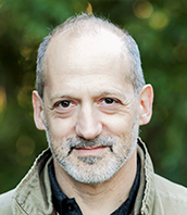
Bio/ Synopsis: Dr. Porter serves as chief engineer of the Institute for Catastrophic Loss Reduction. He specializes in multi-hazard risk to buildings and lifelines. He led Natural Hazard Mitigation Saves, the most-cited benefit-cost analysis of natural-hazard mitigation ever. He led engineering for the US Geological Survey’s ShakeOut, ARkStorm, Tsunami, and HayWired disaster scenarios. He helped to pioneer second-generation performance-based earthquake engineering methods underlying FEMA P-58, the global state of the art in seismic design. He wrote 230 works on risk management. A fellow of the American Society of Civil Engineers and of the Structural Engineering Institute, he holds civil and structural engineering degrees from UC Davis, UC Berkeley, and Stanford University. |
 |
|
|
Institute for Catastrophic Loss Reduction (ICLR) |

