Two more southern SK tornadoes on July 10
The NTP has confirmed two more tornadoes in southern Saskatchewan on July 10. Both tornadoes, one at Prud'Homme and another at Plunkett, had damage rated at EF0.
Full details are available with the event summaries below, along with a regional map, survey summary maps, and survey photos. The event can also be plotted on a map using the NTP Dashboard here.
====
Event Name: Prud'Homme, SK
Date: July 10, 2026
Start Time: 5:35 PM CST (2335 UTC)
Final Classification: Tornado (over land)
Preliminary EF-Scale Rating: EF0
EF-Scale Damage Indicator / Degree of Damage: C-SFLF/DOD-1
Start of damage track: 52.3608N, 105.9349W
End of damage track: 52.3694N, 105.9140W
Location of worst damage: 52.3678N, 105.9158W
Description: Witnesses captured video and photos of a tornado northwest of Prud'Homme. No injuries were reported. An NTP ground and drone survey was completed on July 14, 2026, documenting some damage to fencing. Damage assessed as EF0 tornado, with an estimated max. wind speed of 90 km/h, track length of 1.79 km and max. path width of 50 m. Tornado motion was from the SW (approx. 235 degrees). Start time is based on witness report.
Event Name: Plunkett, SK
Date: July 10, 2026
Start Time: 5:40 PM CST (2340 UTC)
Final Classification: Tornado (over land)
Preliminary EF-Scale Rating: EF0
EF-Scale Damage Indicator / Degree of Damage: C-T/DOD-3
Start of damage track: 51.8697N, 105.4639W
End of damage track: 51.8816N, 105.4430W
Location of worst damage: 51.8788N, 105.4428W
Description: Witnesses captured video of a tornado south of Plunkett. No damage was reported. An NTP ground and drone survey was completed on July 14, 2026, discovering a path of tree damage and damage to a farm property. Damage assessed as EF0 tornado, with an estimated max. wind speed of 115 km/h, track length of 2.16 km and max. path width of 250 m. Tornado motion was from the SW (approx. 225 degrees). Start time is based on witness report. Satellite imagery review is pending.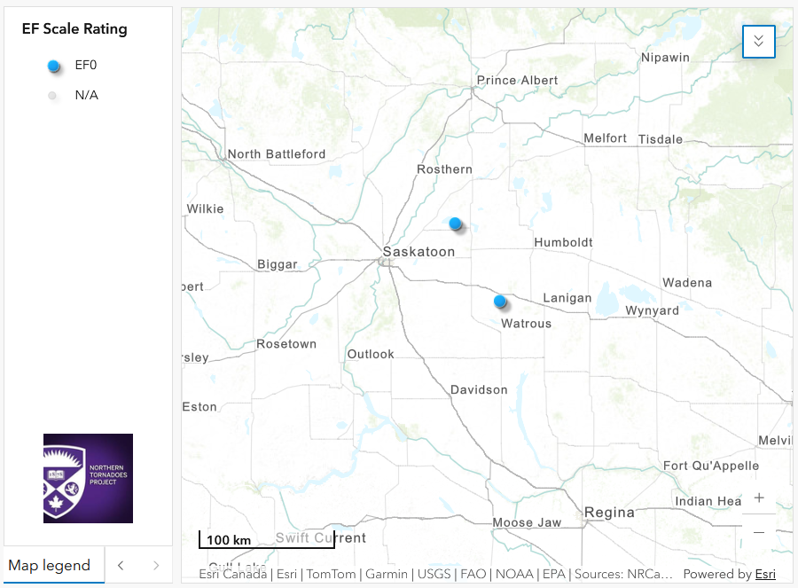
Regional map showing the start locations for the two additional July 10 EF0 tornadoes.
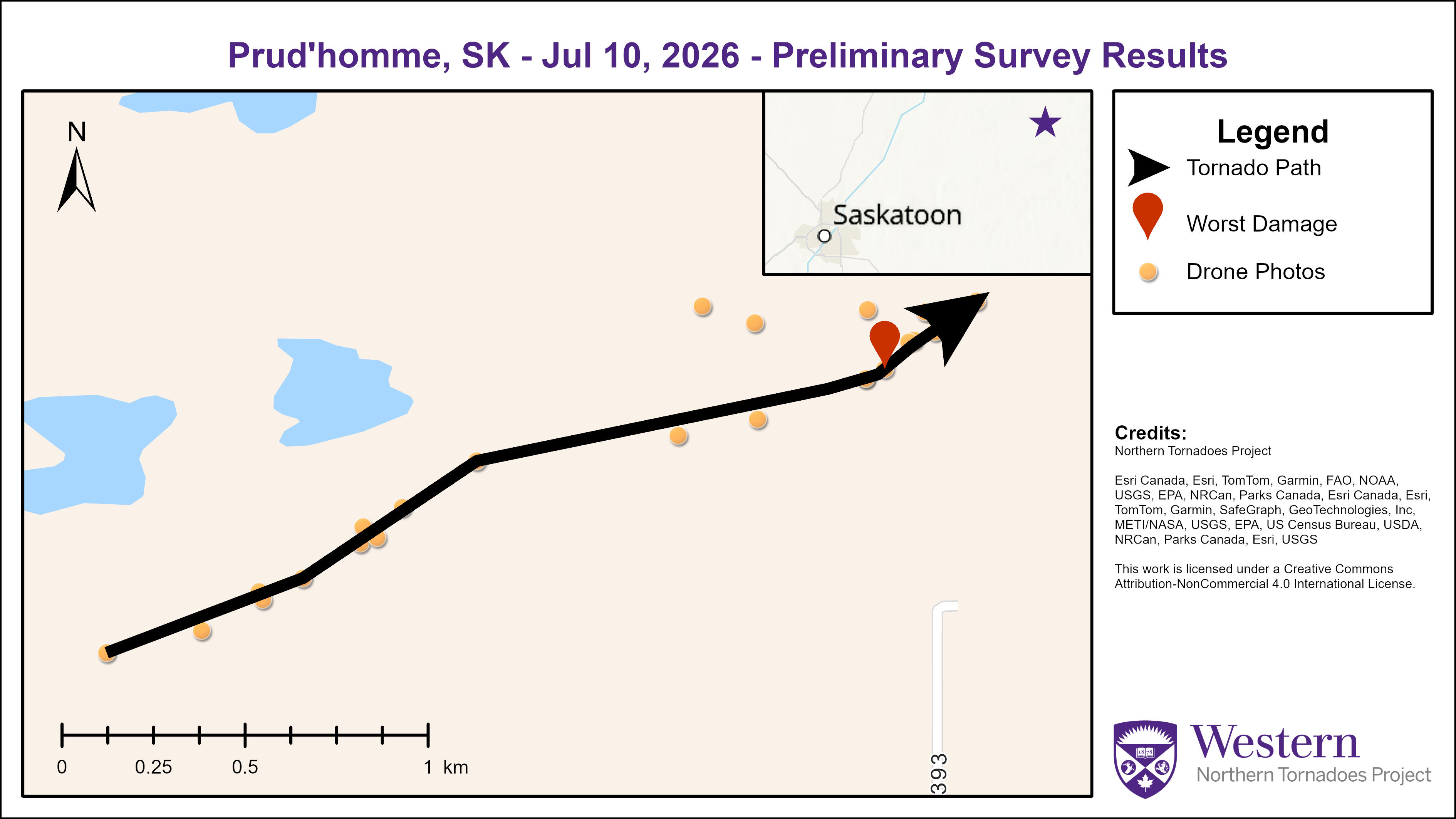
Survey summary map showing the track of the Prud'Homme EF0 tornado.
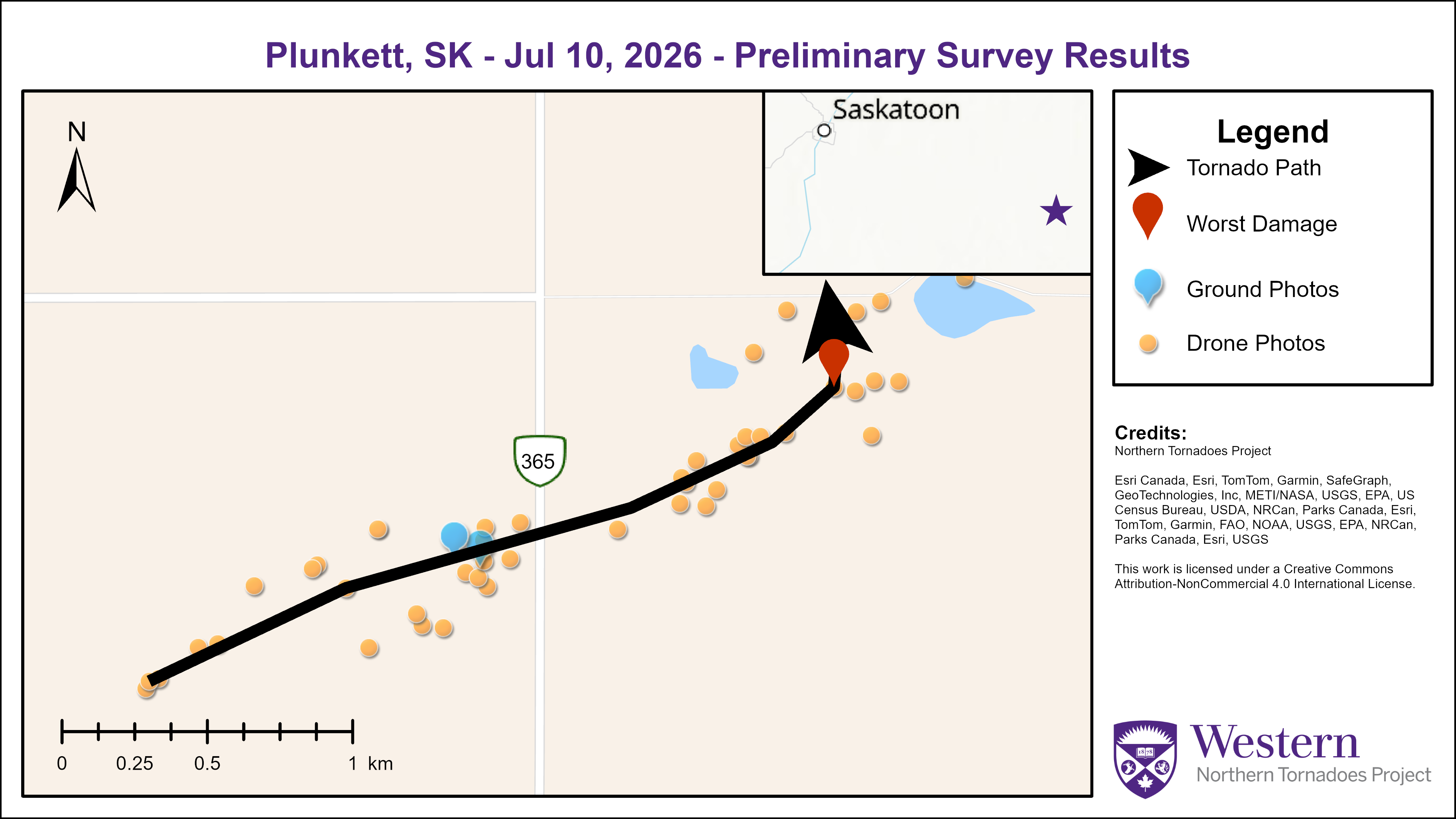
Survey summary map showing the track of the Plunkett EF0 tornado.
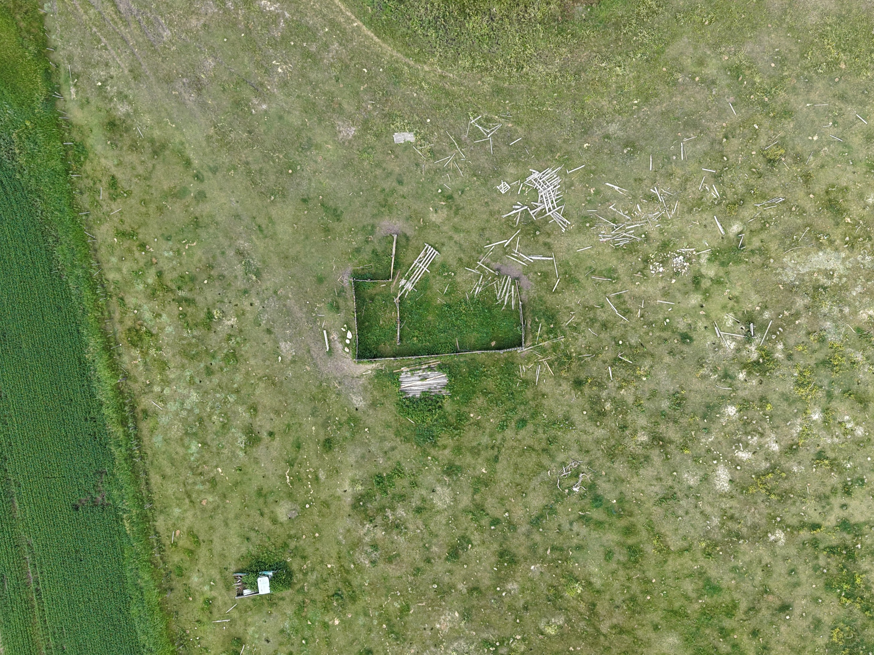
Drone image of partly destroyed fence with the Prud'Homme EF0 tornado. Debris was thrown to the northeast.
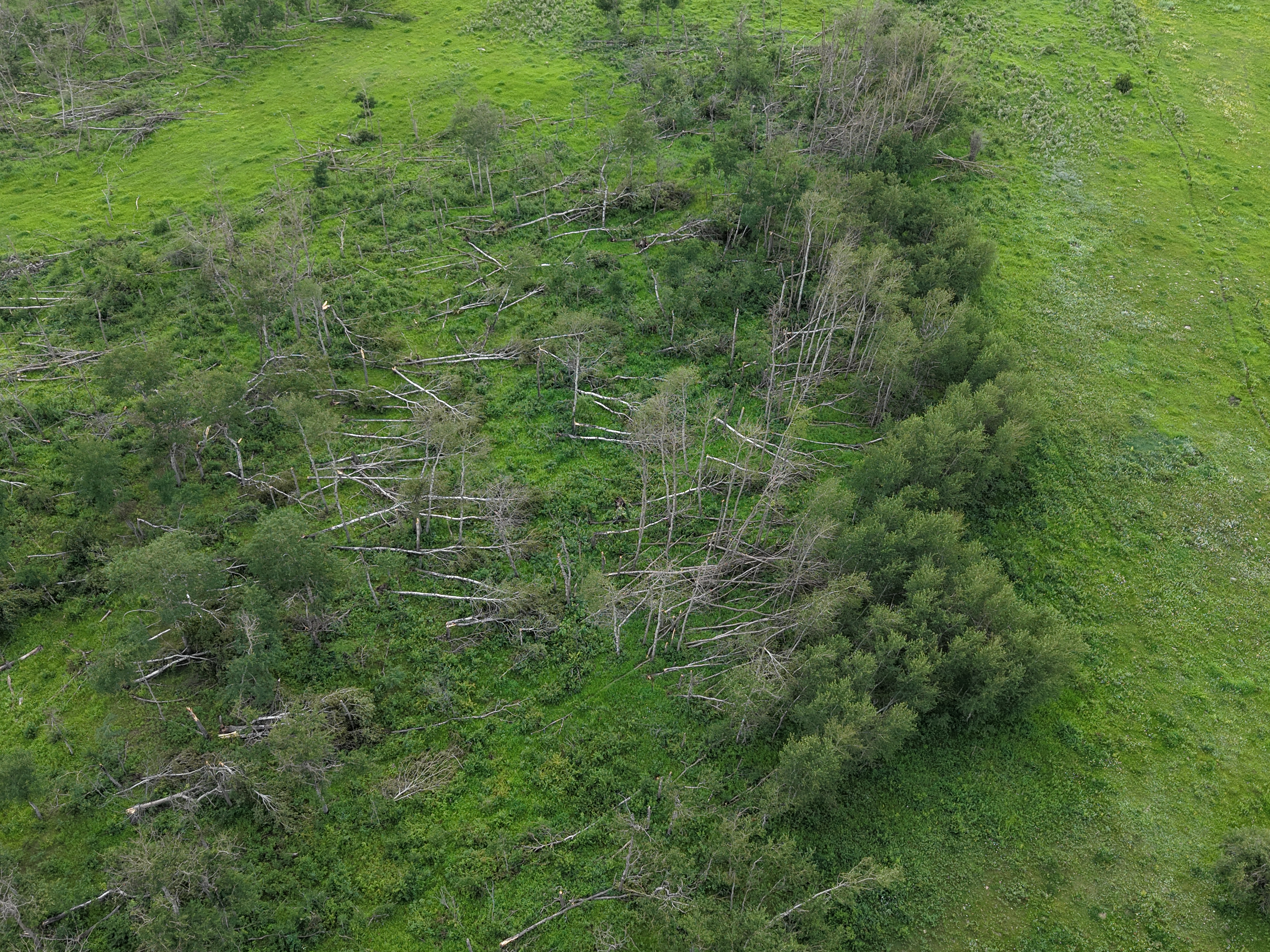
Drone image showing the location of worst tree damage for the Plunkett EF0 tornado.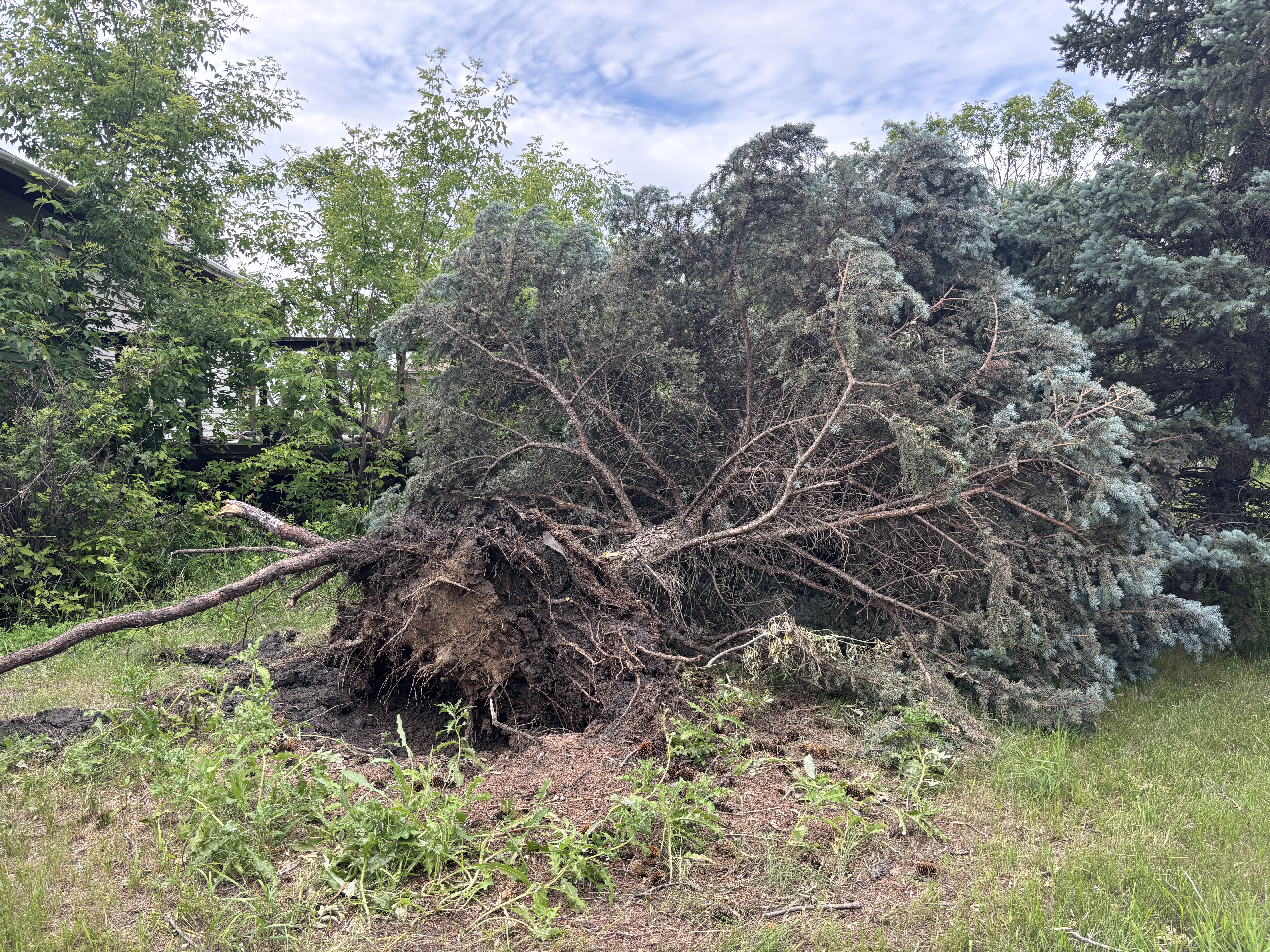
Ground photo of an uprooted tree at a property south of Plunkett. Other damage sustained at this property wasa to an unanchored grain bin, a couple sheds and fencing.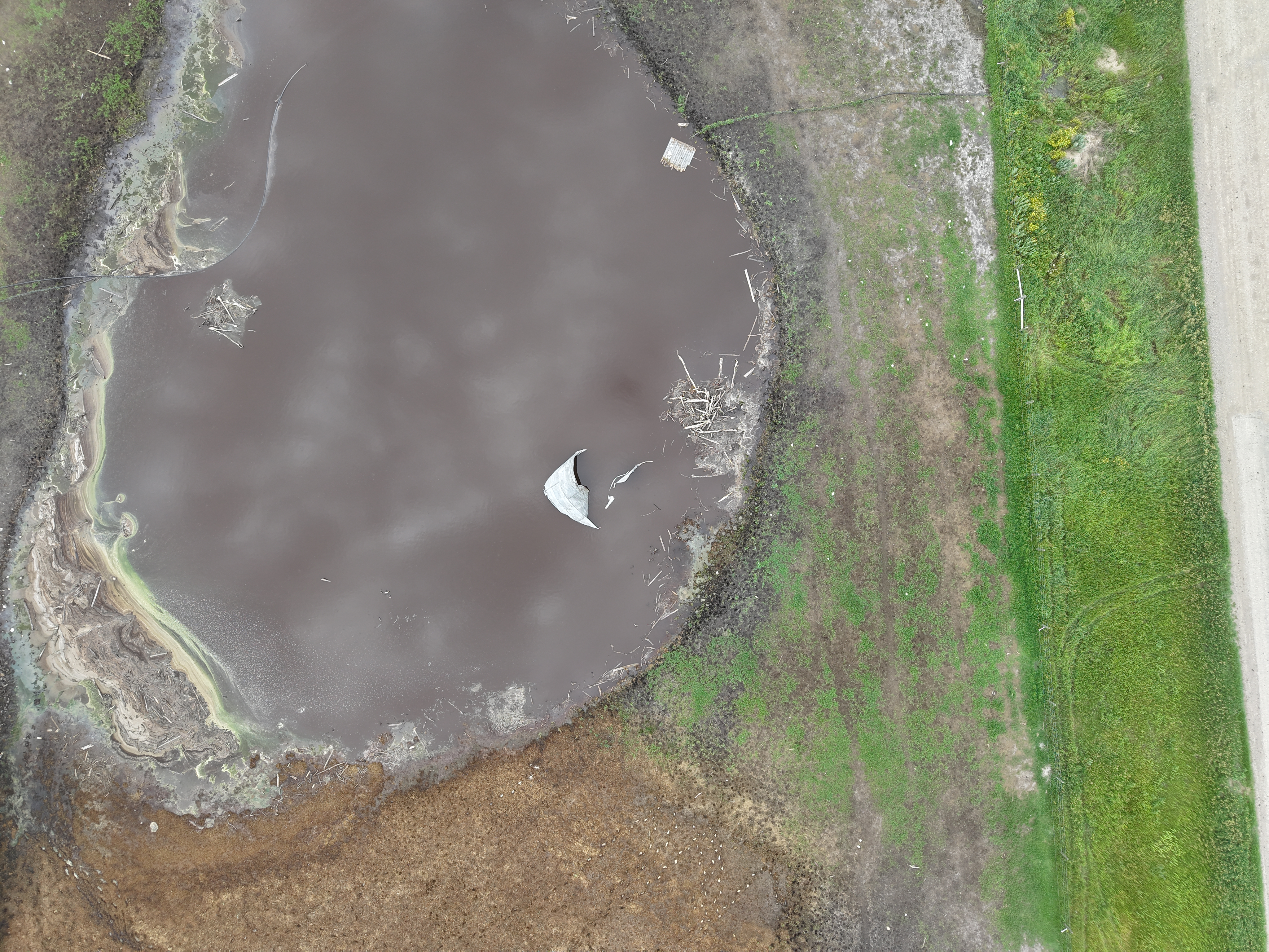
Drone image showing an unanchored grain bin that was thrown/rolled approximately 185 m into a nearby pond.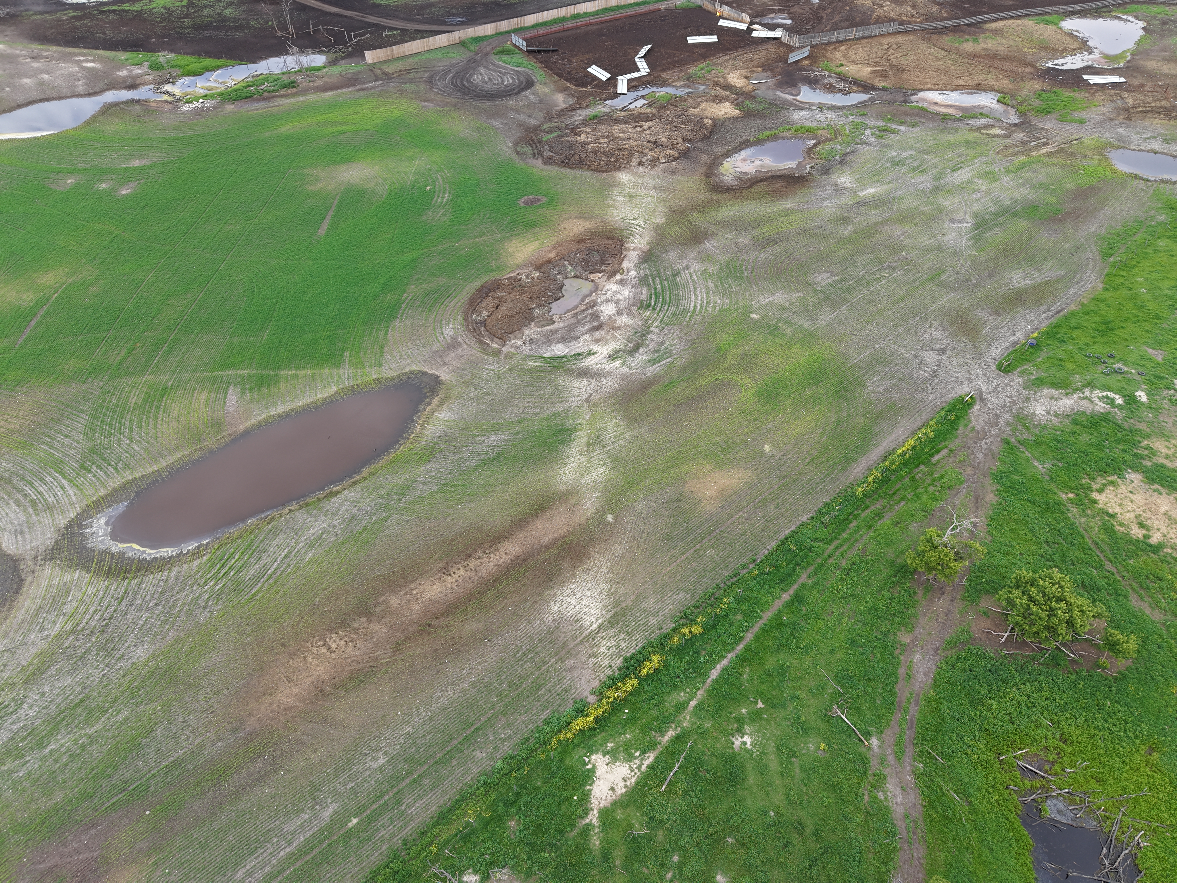
Oblique drone image of debris being spread to the northeast along the tornado track.





