Toronto, ON downburst damage from Sep 2 rated at EF0
The NTP-confirmed downburst that hit the northwestern part of Toronto on September 2 had damage rated at EF0. An NTP ground survey documented damage to homes, apartments and trees in the area. Damage to temporary structures at an outdoor concert venue was not rateable using the EF scale.
There were isolated reports of damage from the same storm in Brampton and Woodbridge but not enough evidence was found to confirm events there.
Full details are available with the event summary below, along with a regional map, survey map, survey photos and radar imagery. The event can also be plotted on a map using the NTP Dashboard here.
====
Event Name: Toronto (North York), ON
Date: September 2, 2026
Start Time: 5:00 PM EDT (2100 UTC)
Final Classification: Downburst
Final EF-Scale Rating: EF0
EF-Scale Damage Indicator / Degree of Damage: FR12/DOD-2
Location of worst damage: 43.7383N, 79.4660W
Description: Damage to homes and apartment buildings, trees and temporary structures at an outdoor concert venue was reported in the Downsview area of North York after a storm passed through. No injuries were reported. An NTP ground survey was completed on September 11, 2026, documenting some of the reported damage and additional roof damage to homes in the area. Satellite imagery review revealed isolated areas of tree damage. Damage assessed as EF0 downburst, with an estimated max. wind speed of 125 km/h, with damage found over an area approximately 7.1 km long and up to 2.8 km wide. Start time is radar estimated.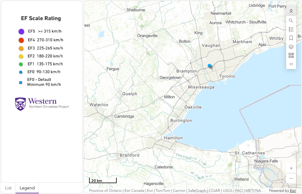
Regional map showing the location of the EF0 downburst at Toronto, ON.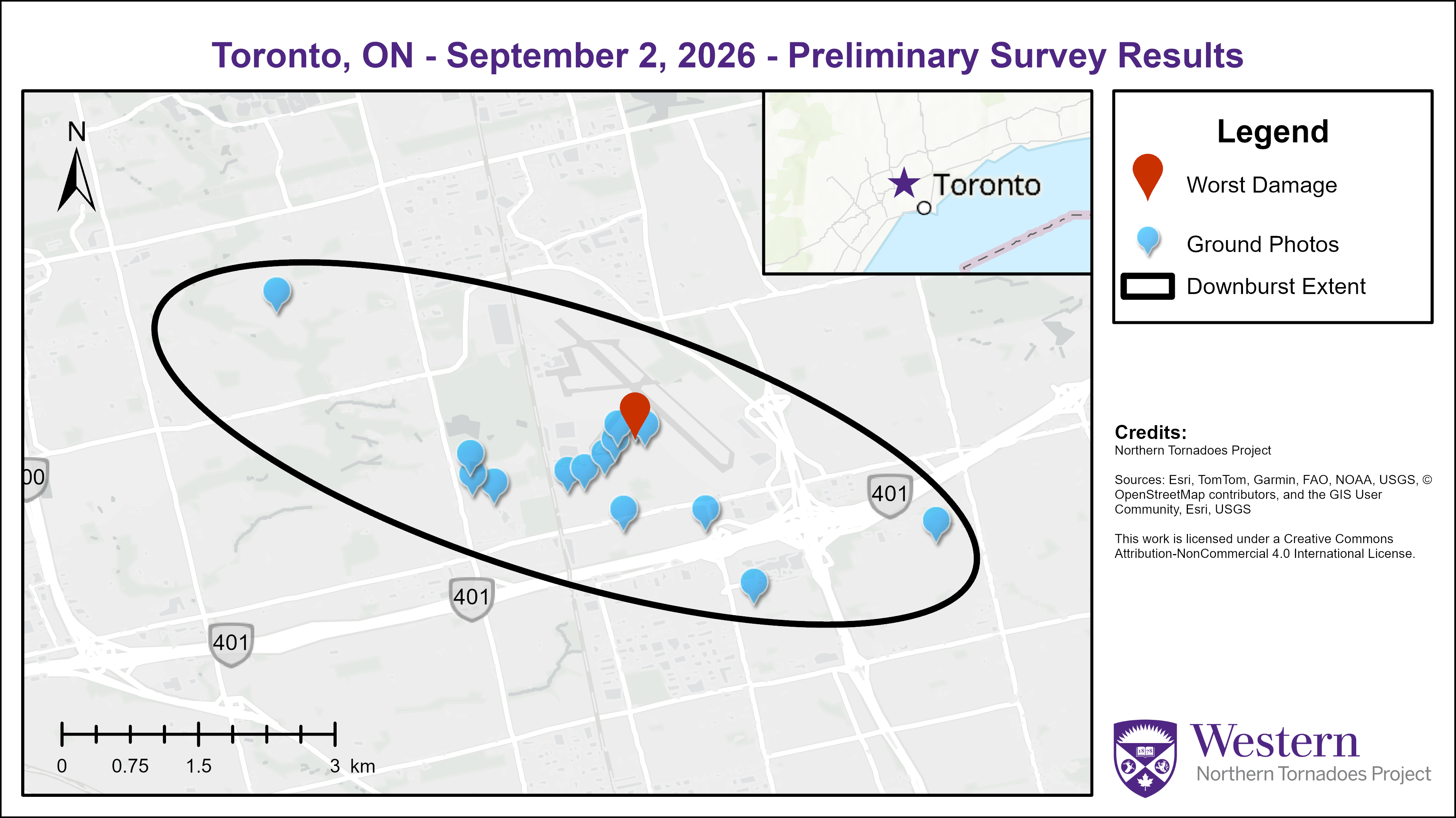
Survey map showing the extent of the EF0 downburst winds in northwestern Toronto, ON.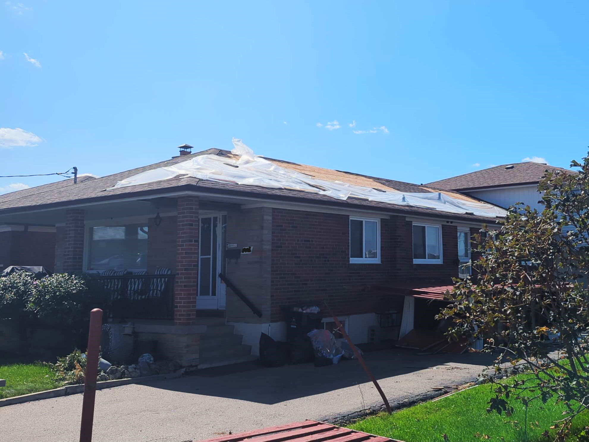
Photo of FR12/DOD2 at worst damage location, showing loss of large sections of roof cover material (with tarp partially over area of damage).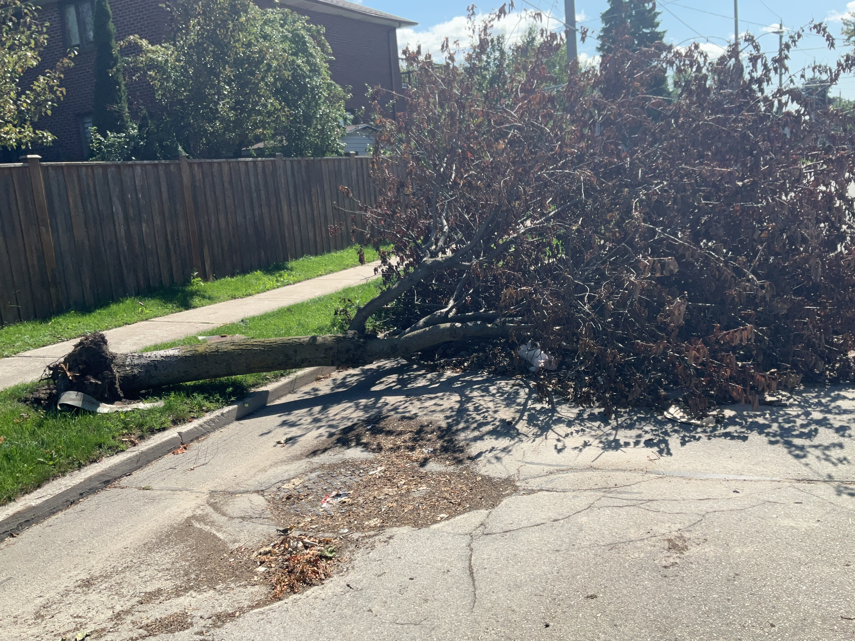
Photo of damage to a shallow-rooted urban tree typical of the majority of tree damage in the area.
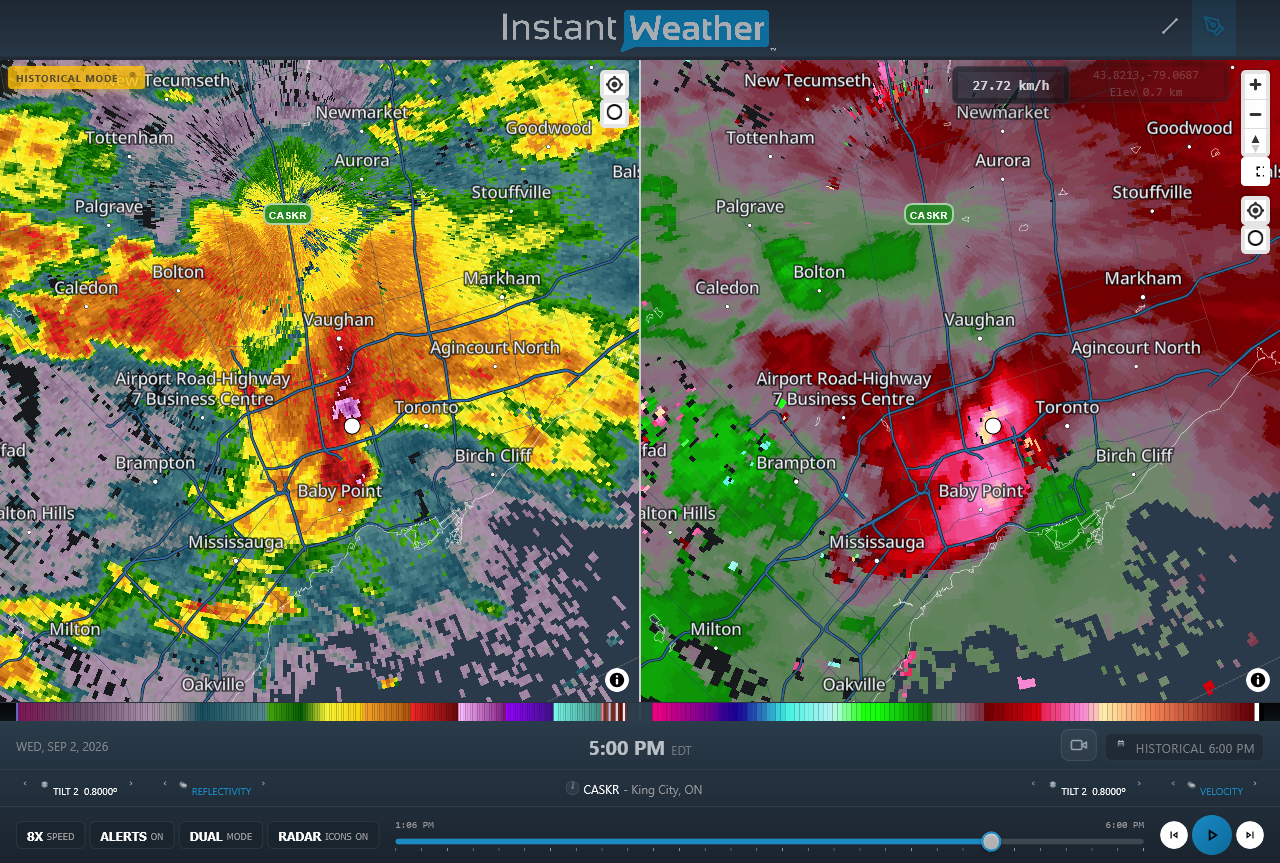
CASKR radar image showing reflectivity (left) and Doppler radial velocity (right) products at the time of the EF0 downburst. The location of Downsview Park, where the worst damage occurred, is indicated by the white circle. Enhanced radial velocities are shown by the yellow pixels at right, with the leading edge of an earlier and dissipating pulse of enhanced radial velocities to the south. Overall, the storm appears to be a large hail-generating high-precipitation supercell dominated by outflow at the surface. However, this supercell went on to generate two weak supercell tornadoes in the state of New York within the next two hours.





