Tornado in southern QC on Aug 27
The NTP has confirmed a tornado near Lac Restigouche in southern Quebec on August 27 based on investigation of reports and analysis of satellite imagery. The tree damage has been assigned a EF2 rating.
Full details are available with the event summary below, along with a regional map. The event can also be plotted on a map using the NTP Dashboard here.
====
Event Name: Lac Restigouche, QC
Date: August 27, 2026
Start Time: 4:00 PM EDT (2000 UTC)
Final Classification: Tornado (over land)
Final EF-Scale Rating: EF2
EF-Scale Damage Indicator / Degree of Damage: C-T/DOD-6
Start of damage track: 47.2753N, 73.3473W
End of damage track: 47.2970N, 73.3264W
Location of worst damage: 47.2803N, 73.3445W
Description: Tree damage was reported at Lac Restigouche (southwest of La Tuque), where a private citizen captured drone imagery of a tornado damage path. Satellite imagery review revealed a visible damage path as well. Damage assessed as EF2 tornado, with an estimated max. wind speed of 190 km/h, track length of 2.93 km and max. path width of 370 m. Tornado motion was from the SW (approx. 215 degrees). Start time is radar estimated.
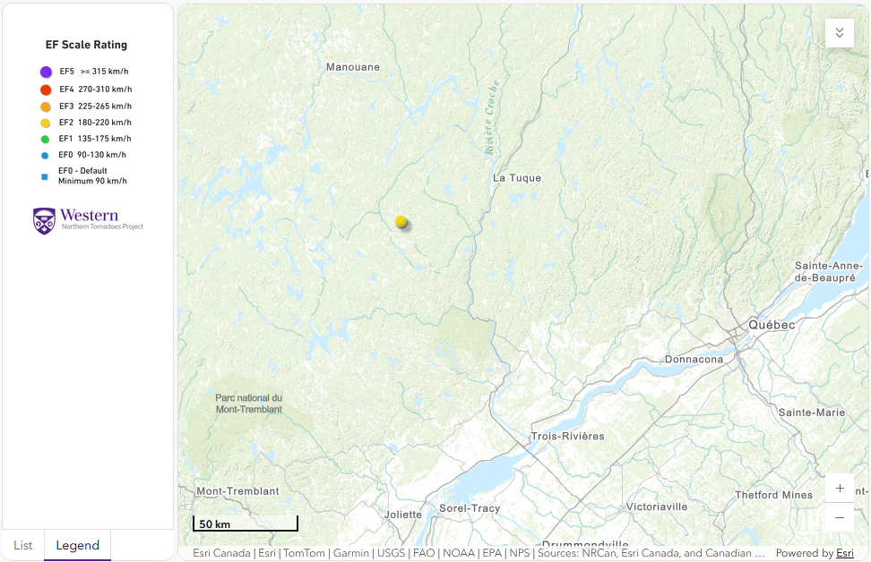
Regional map showing the start location of the EF2 tornado.





