Tornado in northern AB on Aug 12
The NTP has confirmed a tornado near Enilda in northern Alberta on August 12 based on public reports and review of satellite imagery. No damage was reported so a rating of EF0-Default was assessed.
Full details are available with the event summary below, along with a regional map. The event can also be plotted on a map using the NTP Dashboard here.
====
Event Name: Enilda, AB
Date: August 12, 2026
Start Time: 7:40 PM MDT (0140 UTC)
Final Classification: Tornado (over land)
Final EF-Scale Rating: EF0-default
Start of damage track: 55.4170N, 116.2672W
End of damage track: 55.4039N, 116.2638W
Description: Witness captured video of a funnel cloud east of Enilda, though the view of the surface below was obscured by trees. No damage was reported. Satellite imagery review revealed a path of crop damage in the area. As no damage indicators appear impacted, the EF-Scale assessment is EF0-Default tornado, with a track length of 1.50 km and max. path width of 70 m. Tornado motion was from the N (approx. 350 degrees). Start time is based on witness report.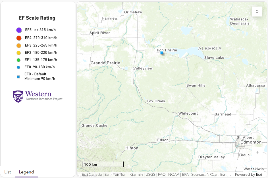
Regional map showing the location of the tornado near Enilda, AB.





