EF2 tornado in QC on July 1
The NTP has confirmed an EF2 tornado in QC, about 250 km northwest of Montreal, on July 1. The tornado left a large scar in the forest, clearly visible in satellite imagery. The tree damage warranted an EF2 rating with the estimated maximum wind speed being 215 km/h.
Full details are available with the event summary below, along with a regional map and a satellite image. The event can also be plotted on a map using the NTP Dashboard here.
====
Event Name: Lac Igloo (Antoine-Labelle), QC
Date: July 1, 2026
Start Time: 3:25 PM EDT (1925 UTC)
Final Classification: Tornado (over land)
Final EF-Scale Rating: EF2
EF-Scale Damage Indicator / Degree of Damage: C-T/DOD-6
Start of damage track: 47.2643N, 75.6943W
End of damage track: 47.2568N, 75.5584W
Location of worst damage: 47.2582N, 75.6180W
Description: Satellite imagery review of a storm track of interest revealed a tornado damage path starting near Lac Igloo (northwest of Sainte-Anne-du-Lac). Damage assessed as EF2 tornado, with an estimated max. wind speed of 215 km/h, track length of 10.5 km and max. path width of 930 m. Tornado motion was from the W (approx. 275 degrees). Start time is radar estimated.
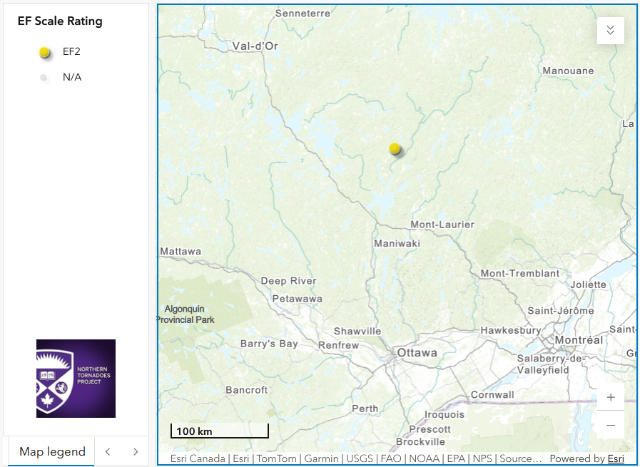
Regional map showing the start location of the EF2 tornado.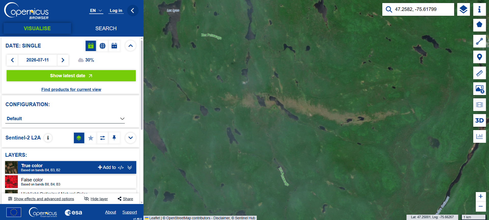
Satellite image showing the clear tornado scar in the forest with nearly every tree down along much of the tornado's path.
There is also aerial footage showing the tree damage along the tornado's path taken by Eméric Dubé Paquet of Air Tamarac:
https://www.reddit.com/r/tornado/s/2AHVWlFEkV
Thanks to Giovanni Rizzotti for pointing this out!





