EF0 microburst in southwestern ON on July 3
The NTP has confirmed a microburst at Bayfield in southwestern ON on July 3. An early morning storm produced a small area of tree damage, with fallen trees damaging structures and vehicles and affecting power lines. The estimated maximum wind speed is 115 km/h, resulting in an EF0 rating being assigned.Full details are available with the event summary below, along with a regional map and links to damage photos. The event can also be plotted on a map using the NTP Dashboard here.
====
Event Name: Bayfield, ON
Date: July 3, 2026
Start Time: 5:40 AM EDT (0940 UTC)
Final Classification: Downburst (microburst)
Final EF-Scale Rating: EF0
EF-Scale Damage Indicator / Degree of Damage: C-T/DOD-3
Location of worst damage: 43.5648N, 81.6919W
Description: Tree damage was reported in Bayfield after a storm passed through the area. No injuries were reported. Satellite imagery review revealed visible areas of weak tree damage in and around the Bayfield area. Damage assessed as EF0 microburst, with an estimated max. wind speed of 115 km/h, with damage found over an area approximately 2.7 km long and up to 1.6 km wide. Start time is radar estimated.
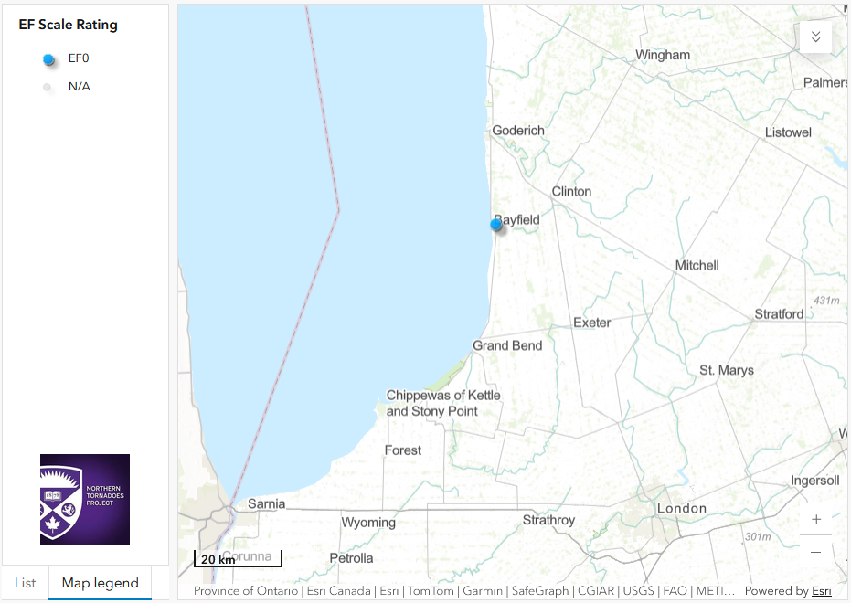
Links to damage photos:
https://www.ctvnews.ca/london/photos/2026/07/08/bayfield-storm-damage/





