EF0 downburst in Niagara region on Aug 2
Following analysis of damage survey results, radar, and other public reports, an EF0 downburst has been confirmed at Fonthill in the Niagara region of southern Ontario on August 2. Damage was mainly to trees, some of which brought down utility lines and poles. Note that Environment Canada issued a tornado warning for this storm.
Full details are available with the event summary below, along with a regional map, survey summary map, survey damage photo and radar loop. The event can also be plotted on a map using the NTP Dashboard here.
====
Event Name: Fonthill, ON
Date: August 2, 2026
Start Time: 12:25 PM EDT (1625 UTC)
Final Classification: Downburst
Final EF-Scale Rating: EF0
EF-Scale Damage Indicator / Degree of Damage: C-T/DOD-2
Location of worst damage: 43.0784N, 79.2324W
Description: Damage to trees in the Fonthill and Thorold areas was reported after a storm passed through. No injuries were reported. An NTP ground and drone survey was completed on August 4, 2026, documenting the reported damage and additional tree damage. Damage assessed as EF0 downburst, with an estimated max. wind speed of 90 km/h, with damage found over an area approximately 10.7 km long and up to 2.8 km wide. Start time is radar estimated. Satellite imagery review is pending.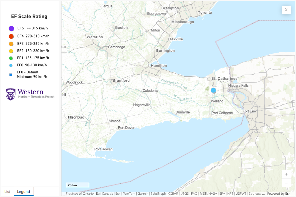
Regional map showing the worst damage location for the EF0 downburst.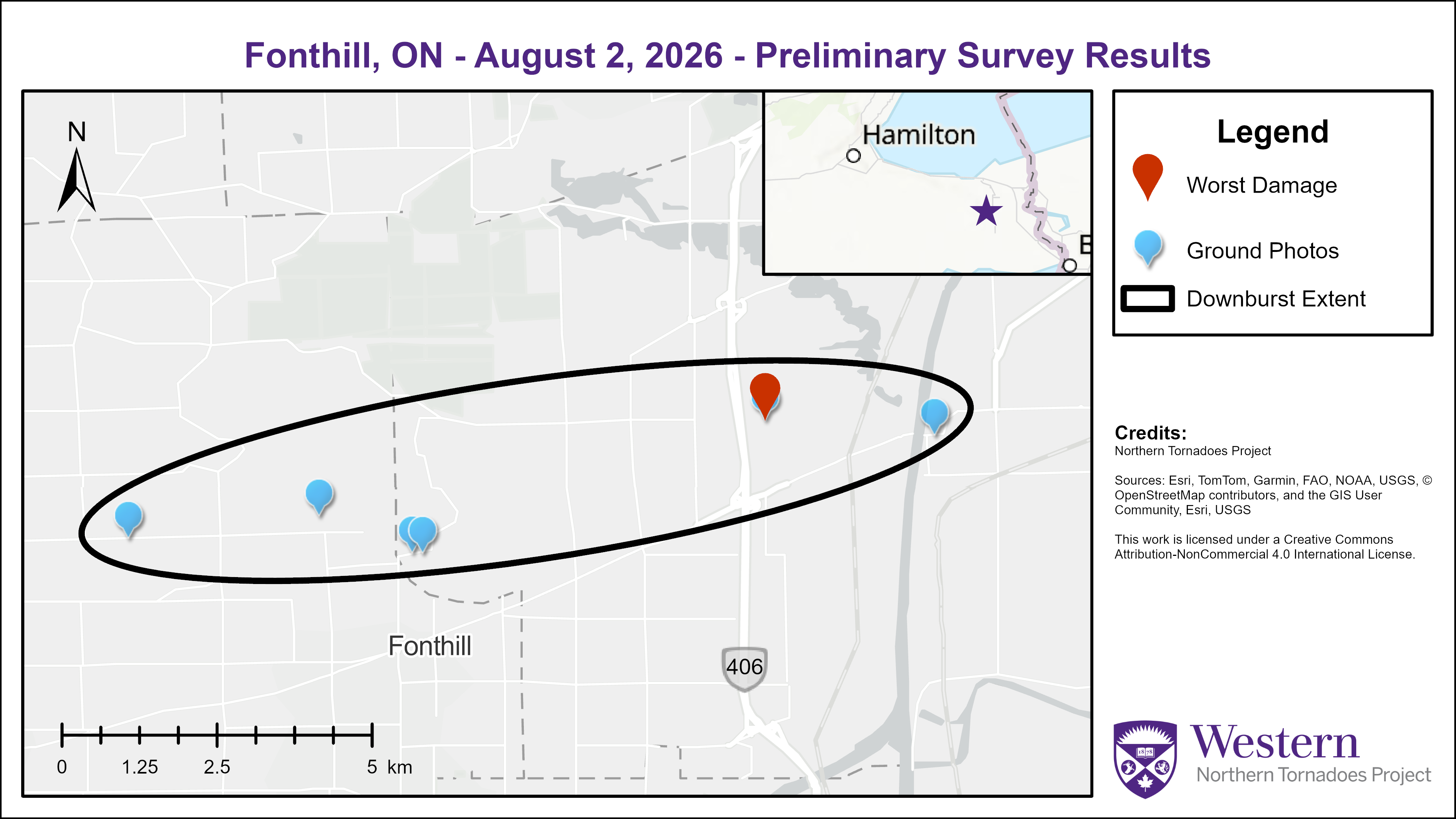
Survey summary map for the EF0 downburst at Fonthill, ON on August 2.
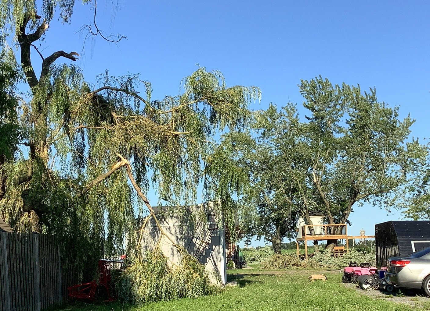
Large branches removed in the location of worst damage.
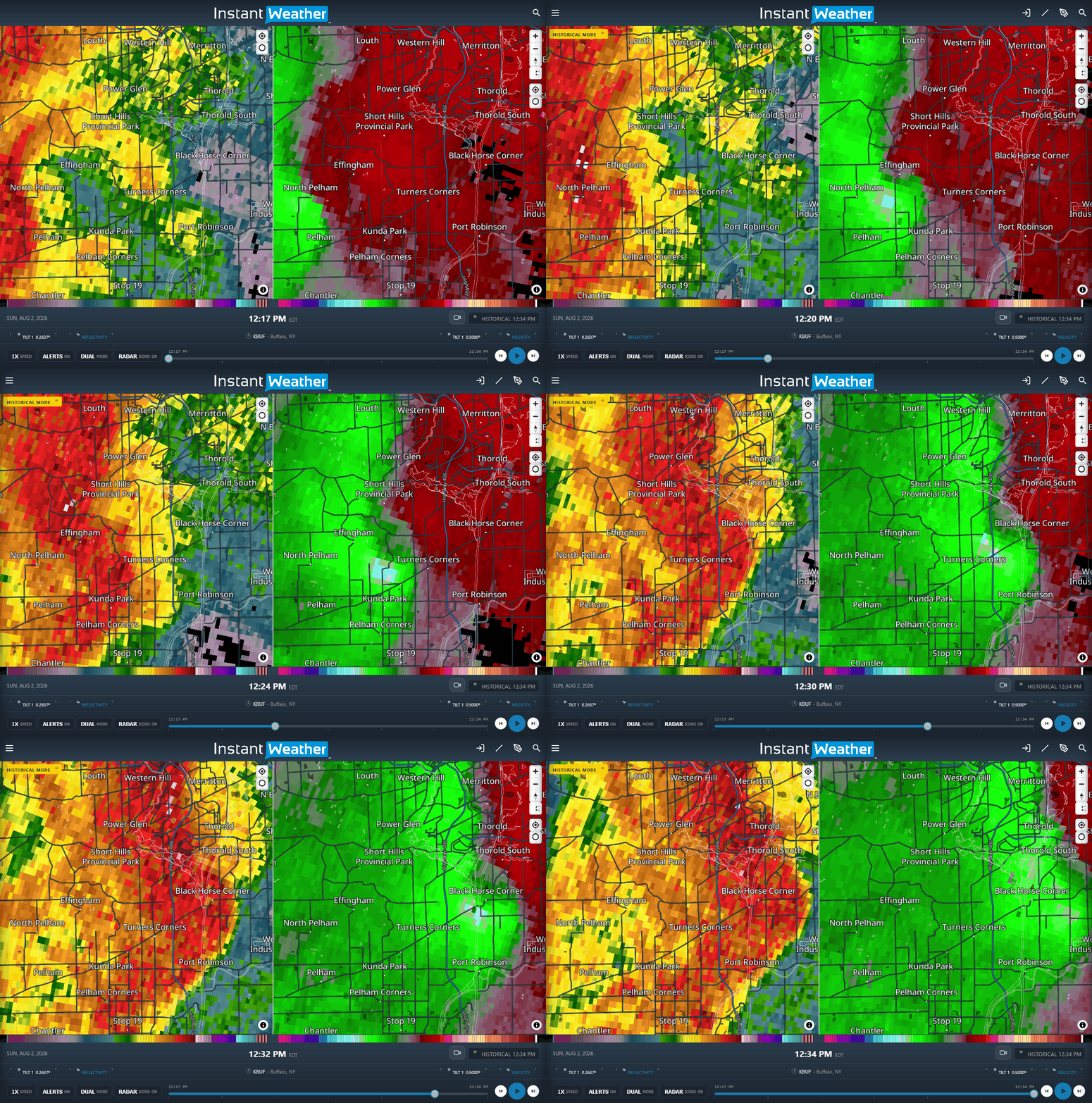
KBUF radar loop showing the maximum radial velocities (right side, reaching above 90 km/h) occurring the green (toward the radar) area behind the storm's gust front. While there was some broad rotation apparent, the observed damage occurred with the maximum velocities.





