EF1 tornado west of Red Deer AB on Jul 9
Based on visual evidence of both a funnel cloud and a narrow path of mostly snapped trees, the NTP has confirmed an EF1 tornado west of Red Deer, AB on July 9. Satellite imagery was used to document the full 5.7 km damage path. Details are provided in the event summary below, along with a regional map and visual evidence of the damage. The tornado can also be plotted on a map using the NTP Dashboard here.
Thanks to Ben Chernesky for tracking down the tree damage and providing drone video!
====
Event Name: Strachan, AB
Date: July 9, 2025
Start Time: 2:55 PM MDT (2055 UTC)
Final Classification: Tornado (Over Land)
Final EF-Scale Rating: EF1
EF-Scale Damage Indicator / Degree of Damage: C-T/DOD-5
Start of damage track: 52.2891N, 115.4071W
End of damage track: 52.2694N, 115.3310W
Location of worst damage: 52.2836N, 115.3908W
Description: Witness captured a photo of a funnel cloud west of Rocky Mountain House and related tree damage was later documented (with ground and drone imagery) by a private citizen west of Strachan. No injuries were reported. Satellite imagery review revealed the full tornado damage path. Damage assessed as EF1 tornado, with an estimated max. wind speed of 170 km/h, track length of 5.67 km and max. path width of 320 m. Tornado motion was from the WNW (approx. 290 degrees). Start time is radar estimated.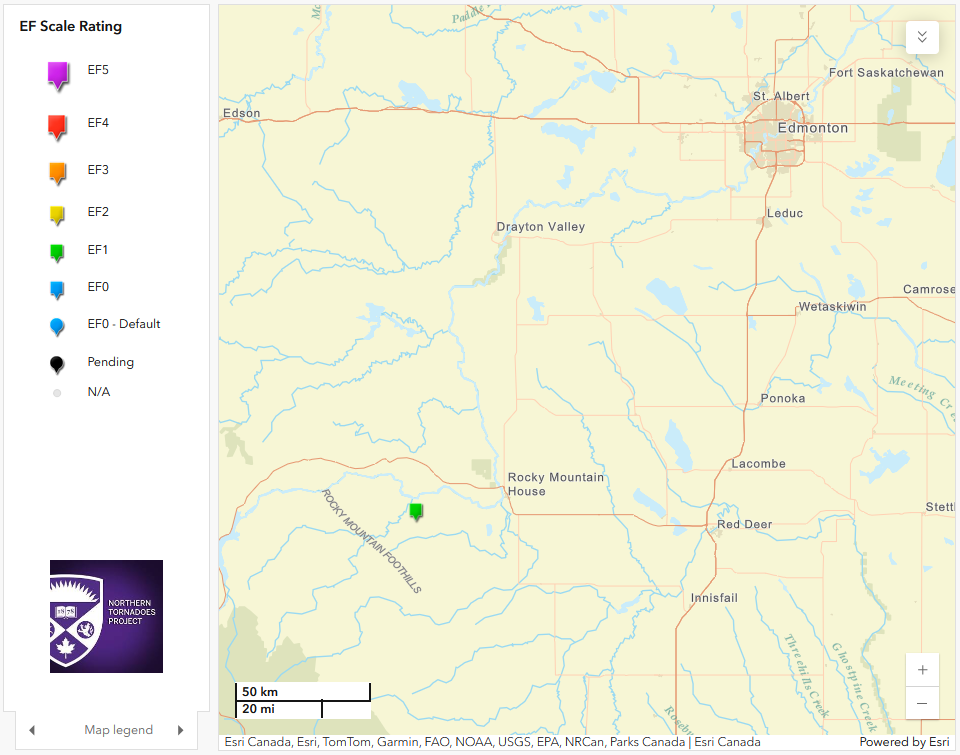
Regional map showing the location of the Strachan, AB EF1 tornado.
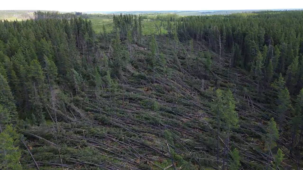
Video screen capture showing the narrow path of mostly snapped trees, courtesy Ben Chernesky (with permission).