Talbotville Tornado Details
A team from the Northern Tornadoes Projected completed a storm damage survey for a tornado that occurred at Talbotville, ON on the evening of June 13th. Summary information is provided below, as are a map and ground / drone photos from the area.
====
Event Name: Talbotville, ON
Date: June 13, 2023
Start Time: 6:30 PM EDT (2230 UTC)
Final Classification: Tornado (Over Land)
Final EF-Scale Rating: EF0
EF-Scale Damage Indicator / Degree of Damage: C-T/DOD-3
Description: A storm damage survey revealed a damage path that was 2440 m long and 40 m at its widest. The damage was assessed as EF0 with an estimated max. wind speed of 115 km/h. Tornado motion was from the SW. Start time was estimated based on witness information. There were no injuries. Several people were able to capture the funnel cloud in photos and video.
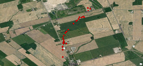
Map showing the path of the tornado, first to the north then more to the northeast.
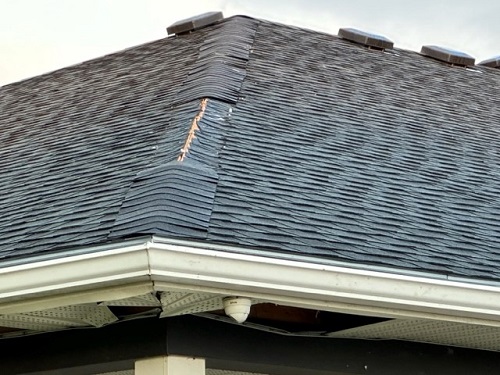
Some soffit and shingle damage to the corner of the restaurant building.
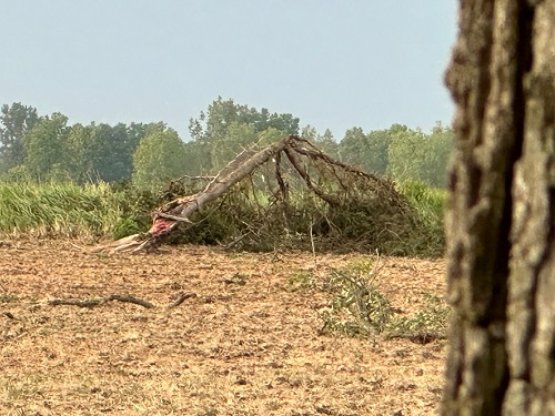
Healthy conifer snapped
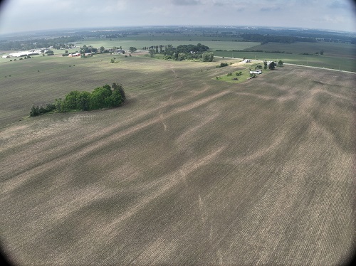
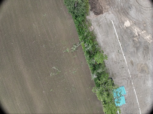
Drone image showing the path of the tornado through the fields after hitting the restaurant.
Drone image showing a tree down from the NE on the north side of the tornado track.